Saturday, September 13, 2014

Na Wa'a Li'ili'i Kiolea

"The Long Small Canoes"
This wahi pana in the ahupuaa of  Ka'alaea, hearkens to the ancient times when paramount chiefs of the Pacific journeyed vast distances just by the winds, currents, stars and beckoning of gods. All of which they had great knowledge of. They are cherished in story until this day and this place may have been a symbol to their memory, now lost to development. Sadly like most of our beloved wahi pana are.

It isn't exactly stated whom the cherished individuals were to have inspired the original memorial. Mo'ikeha, the brother of Olopana is said to have returned to Hawaii and lived near here for some time before settling in Kauai. His son Kiha is said to have traveled to Kahiki possibly to return his father's bones but also to retrieve Mo'ikeha's foster son La'a to be a ruler in Hawaii. 
La'a is definitely connected with this area as he lived in Kaneohe for sometime. Building a heiau and home near the exact spot where he landed. Kahai a descendant of Mo'ikeha lived in the nearby district of Hakipu'u and is famed as the furthest travelling chief to ever sail out of the known parts of the world to ancient Polynesia at the time... 

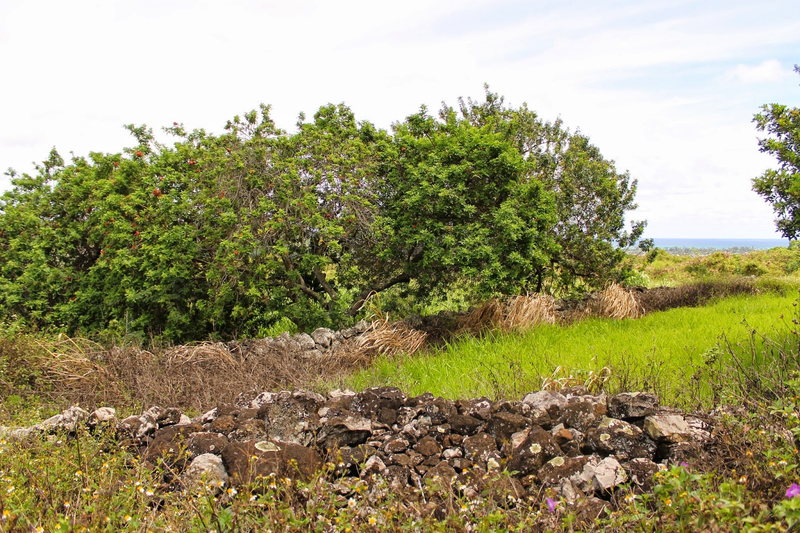
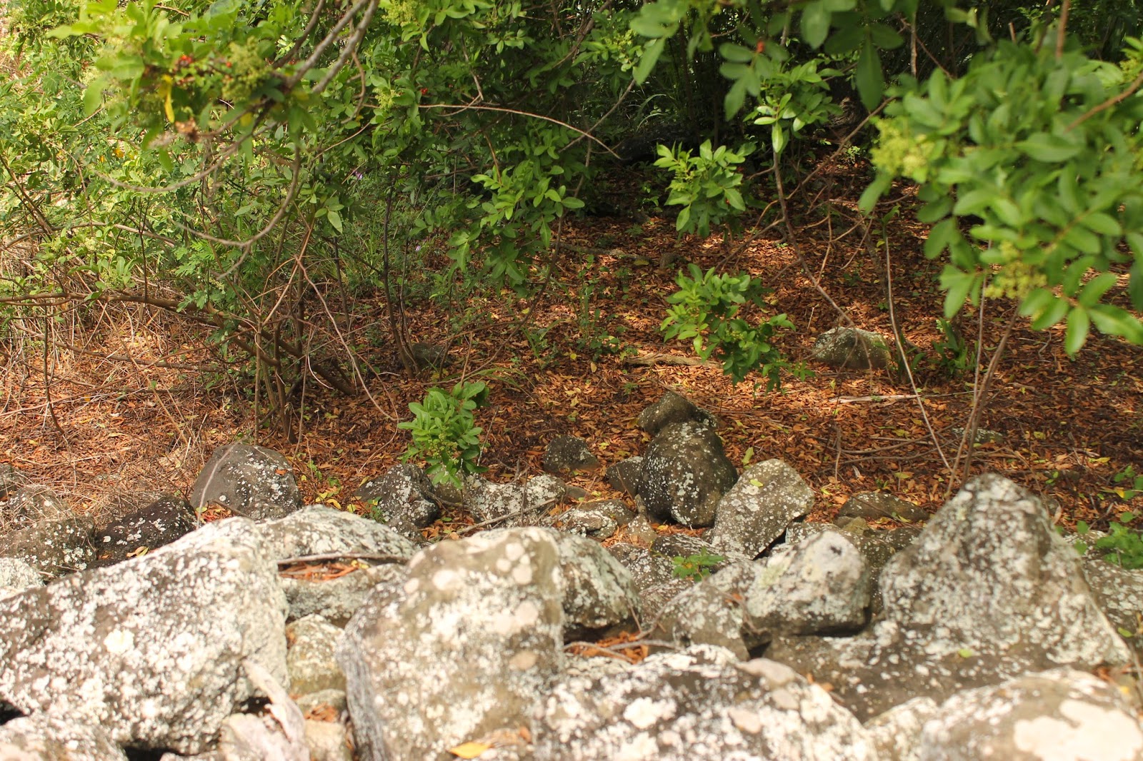
Na Wa'a Li'ili'i Kiolea was once a stone structure on the shores of Ka'alaea, a beach called Mahinahina. It is said to have been a stone canoe where travelers from Kahiki landed and spread sand from their homeland on the shore. They also are said to have brought a mapu tree not found on these islands previously.
Kaipuiolea, is named as the person to have done so from the historian Kamakau.
The story of sand sharing from distant lands is also connected to a place in Kaneohe called Na one a La'a, the sands of La'a. There are other stone canoe legends connected to other places. Such as the one once found at Allen Davis beach, heralding Pele's arrival. A tidal wave in 1947 displaced that one.


Sometime during the construction of the first road around the island, eventually becoming Kamehameha Hwy. A group of road workers decided to break up Na Wa'a Li'ili'i Kiolea and use the rocks as material in the road. Some of the local workers rejected the idea but the haole workers led by a "hardened man" went ahead and did destroy the structure. 
The stones were under strict kapu up until that moment in time and no one was allowed to disturb them. This kapu may have been the cause of the haole workers apparent death after their deed...


"As you come from Koolauloa as far as Waiahole, and pass Hakuikukui, you will pass Aulili Point on the lower side of the slope; your feet will then tread on the sand. That is the sand of Mahinahina. You will then find One-Huna, One-Hali and Ka-ipo-o-Lea. Look toward the windward side and you will find the small stone canoes called Na-wa'a-liilii-kiolea..." 
-Kamakau


Wednesday, September 10, 2014

Pahukini Heiau

Pahukini Heiau has eluded me for long enough and this past weekend I finally took the time out to visit it. My first attempt was quickly shut down years ago as I tried to drive up to it from the Kapaa Dump Station. 
A few of the heiau in the district of Kailua and Kaneohe were built by Olopana and even have a similar look as far as wall width and height. Like that of Kawa'ewa'e Heiau on the other side of Mahinui ridge. Back when I visited that heiau I was under the impression that there was only one chief named Olopana. But now I am open to the idea that there was another chief named Olopana generations after the voyaging Olopana of Waipio and Kahiki. He may have been the one that built at least five heiau in the Koolaupoko moku and had dealings with the legendary Kamapua'a.


Pahukini means many drums, but it has other possible older names like Mo'okini simular to the heiau Pa'ao made in Hawaii island. It seems to relate together as there is also another name of the heiau, Makini which means many deaths. Pa'ao brought the sacrificial religion to Hawaii and it spread throughout the rest of the island chain eventually. Pahukini may have been a newer name created by onlookers at a distance hearing the drums of the practices going on away from view.
Speculation aside, sometimes heiau are built over older structures and used for totally different means. After the Kapu system fell to Christianity and then development came in, and finally all of the kupuna passed away. Who are we to profusely say that we know exactly what each and every heiau was used for? 


In fact it's a wonder that this heiau still physically exists. Since one of it's walls almost slid down a man made cliff about 200 feet high, created from rock quarrying in the 50's. After that the dump took over and dumped rubbish near it. The landfill dirt would later be used as an aid to preserve the unstable wall from falling. By filling the area below it with stable ground.


Pahukini was placed on the National Register of Historic places in 1972.
In 1987 the community volunteers began restoring it by removing vegetation within and around the heiau. Finally archaeologists were able to study the site. It was rededicated 1988 and there were plaques placed here to commemorate its new life out in the open.


Caretakers still upkeep the area around the heiau. Maybe I can get involved in a clean up if they host them for the public...
This large stone has the bronze plaque on it's front side.


Most of the small ili'ili stones used as pavement inside of the heiau were stacked in piles during the restoration.
There in the distance is the furthest reach from the smaller section to the back of the southern heiau wall. There is a smaller enclosure there that i will get to later.


The smaller square section off of the north wall of the greater rectangle of the main heiau is covered in weeds.


 This meduim sized stone has been disturbed at some point in time and lies inches from its counterparts. It shows a round exterior but is flat on the other sides and looks to fit somewhere like a puzzle piece.


I made my way around the heiau from the north to the west wall.
Here is a view of the quarry on the other side of H3 Freeway tucked in the valley, Kapaa Quarry, Mahinui ridge, and the Koolau in the distance


The south west corner has a separate section not pictured in the image on the plague. I'm not sure if these were pilled in modern times or a separate structure
A little displaced  stone in the center is another example of a puzzle like shape that must have originally been design to fit perfectly in place.


Here is the south wall on the higher elevation.

From the top of the heiau there is a smaller enclosure inside with a short wall inside separating the rest of the heiau.


Finally here at the end of the cleared path around the heiau ends at the south east corner.


I made my way back to the northeast corner and noticed that it pointed almost exactly north...


A hui hou Pahukini...